Landslide Mitigation and
General Geotechnical Work
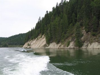
Qwg will work with you to address your concerns and identify the cause of your problems. We present options, make recommendations, and coordinate cost-effective solutions by providing the following services:
_
- Geotechnical reports for Washington State Forest Practices applications, city and county shoreline permits, and other land-modification projects
- Geologic and hydrologic site assessments
- Geologic hazard delineation and problem scoping
- Drainage management planning for surface and groundwater, particularly relating to unstable slopes
- Qualitative and quantitative landslide analyses
- Development of mitigation options
- Trail layout on sensitive slopes
- Management of field exploration programs (i.e. drilling, sampling, etc.)
- Evaluating dam abutment stability (under Washington state recertification guidelines)
Forest Practices and
Rock Resource Applications
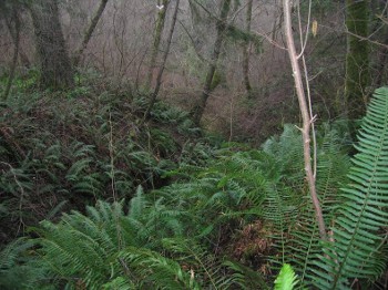
With over 20 years of experience working on Federal, State, and private forest lands, we offer a range of services addressing the many geologic, hydrologic, and geotechnical issues. These include:
_
- Comprehensive geotechnical reports for Washington State Forest Practices requirements (Class IV Special)
- Groundwater recharge assessments on unstable slopes in glacial deposits
- Landslide mapping and field-developed cross sections
- Qualitative and quantitative landslide analyses
- Geologic and hydrologic site- and basin-scale assessments
- Geologic and hydrologic monitoring and mitigation for slope stability investigations and restoration projects
- Road and trail layout, decommissioning, and fish barrier removal design plans, particularly on sensitive ground
- Aggregate resource evaluations
Habitat Restoration and Implementation
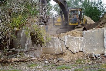
Qwg supports the efforts of coastal and upland restoration projects through thorough geologic, geomorphic, and hydrologic characterization of site conditions and processes. This helps identify realistic project objectives, and assures successful project planning and design. We do this by providing:
_
- Baseline geologic and hydrologic site, reach, and basin-scale characterization
- Geologic and geomorphic maps
- Design and implementation of geologic and hydrologic monitoring programs
- Landslide and erosion hazard scoping and mitigation development
- Field exploration program management (i.e. excavation, drilling, geophysics, etc.)
- Geotechnical report writing and compilation for permitting and project documentation
- Acquisition and management of grant funds, interagency agreements, and consultant contracts
- Compilation of public information documents and presentations
Third Party Reviews
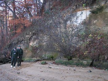
Qwg is regularly contracted by private parties and government agencies to provide reviews of completed project reports, permit applications, planning documents and other geologic and geotechnical input that requires objective evaluation and written comments. Such reviews have included:
_
- County and City Shoreline Management Program and Critical Areas Ordinances updates
- County Stormwater Management Plans
- Shoreline armoring permit applications
- Slope stability analyses for shoreline permitting
- Public and private land trail construction
- Environmental (water quality and quantity) monitoring plans
- Mining expansion applications and monitoring plans
Geologic Mapping & Site Characterization
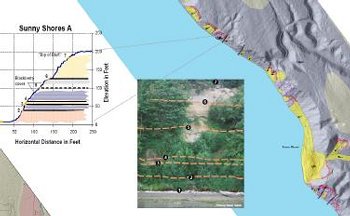
Wendy has over 30 years of experience mapping in a broad range of geologic terrain including complex glacial environments, bedrock, and active and relict geomorphic landforms. She has published a number of geologic maps covering parts of Puget Sound and the Olympic Peninsula. Qwg combines these skills with thorough, objective field observations, working closely with GIS specialists to compile and produce useful, easy-to-read, project-appropriate maps for a wide range of applications. Mapping services and products can include:
_
- Landslides (shallow and deep-seated) and geomorphic landforms
- Surficial (glacial) and bedrock deposits
- Geologic and hydrologic site and basin-scale characterization; cumulative effects analyses
- Groundwater recharge and stormwater run-off, particularly on unstable slopes
- Field-developed cross sections
- Field exploration/investigation program management (i.e. drilling, sampling, etc.)
- Collaboration with public agencies, universities, and other consultants
- Grant funding acquisition and management
Teaching and Training
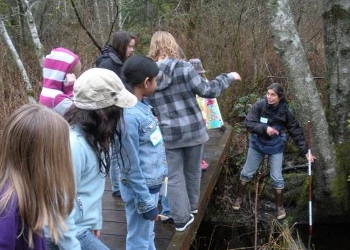
Photo credit: J. Turlove
Wendy enjoys sharing her enthusiasm for geology and passion for responsible land and resource management with all ages. She has taught full semester college courses, field classes, public workshops, and special school programs for grades K-12, developing her curricula to reflect local issues, geologic processes, and the interests of the group. She has taught classes through the following institutions:
- The Evergreen State College
- South Puget Sound Community College
- WSU Extension Program for real estate professionals and shoreline landowners
- Local elementary schools
- YWCA SMART Program
- Expanding Your Horizons
- Scouting groups
Immediate Needs
_
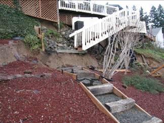
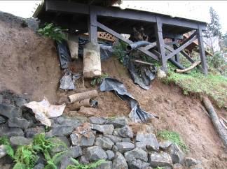
Qwg responds quickly to calls. We will make a site visit on short notice, and provide you with recommendations on next steps to take. We will guide you through the mitigation process, and provide objective reviews of contracted slope mitigation design, construction, and restoration services.
Call Qwg: (360)754-2409
_
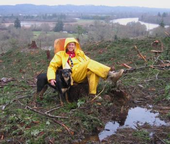
Regular field assistance provided by Tom and Talus
_